Changing partitions of Palestine-Israel & India / Pakistan
Maps
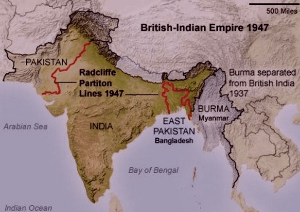
Bordering and spatial politics were critical to the displacements in Palestine-Israel and India-Pakistan. Contestations over borders and attached violence, including by British colonial authorities, fuelled the mass forced migrations of large numbers of people. In some cases borders were drawn on maps and never implemented on the grounds; in others, they were determined by conflict outcomes.
Palestine-Israel
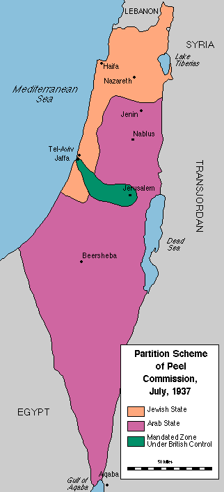
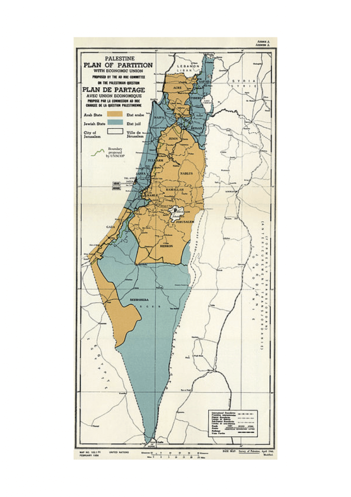
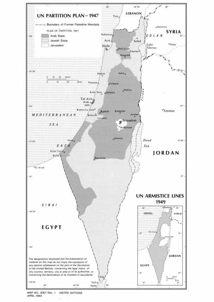
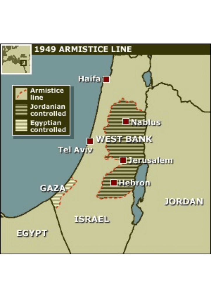
Palestine underwent continual bordering challenges in the first half of the 20th century. These were mostly proposed by the British, who governed Palestine from 1918 until the establishment of the state of Israel in 1948. Partition plans suggested by first the British and then the UN were never implemented as the final borders were determined by war and armistice lines in 1949.
India / Pakistan
Lorem ipsum dolor sit amet, consectetur adipisicing elit, sed do eiusmod tempor incididunt ut labore et dolore magna aliqua. Ut enim ad minim veniam, quis nostrud exercitation ullamco laboris nisi ut aliquip ex ea t.Lorem ipsum dolor sit amet, consectetur adipisicing elit, sed do eiusmod tempor incididunt ut labore et dolore magna aliqua.